Survey & Geomatics
Topography, ALTA Support, As-Builts
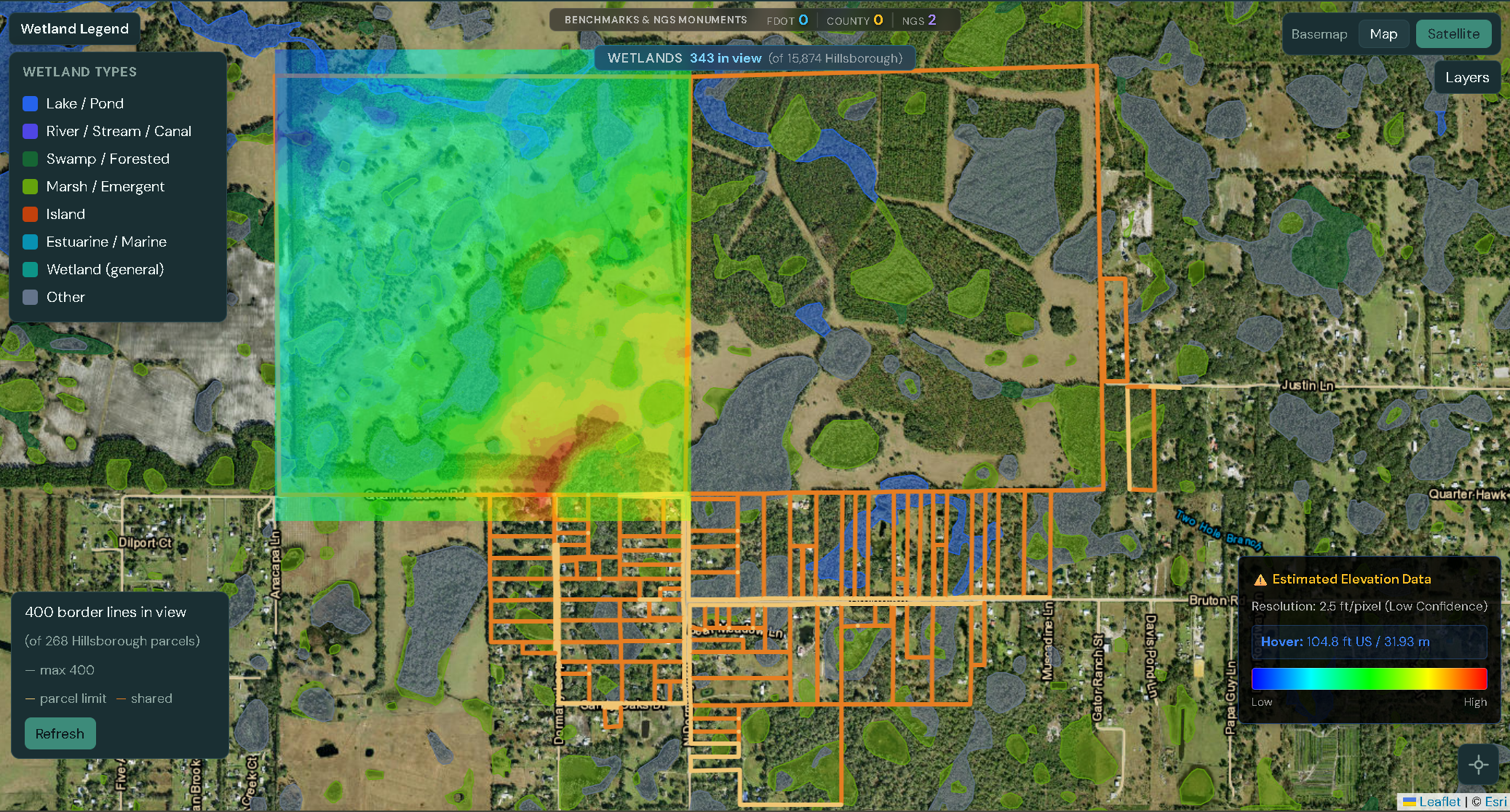
Orthomosaics, LiDAR, and Topography with guaranteed 0.1′ accuracy. Trusted by Surveyors and Civil Engineers to mitigate risk.
Standard drone operators rely on GPS. We rely on physics and ground truth. Every project by Drone Baseline Solutions is anchored by a minimum of 5 Ground Control Points (GCPs) and verified against independent Checkpoints using survey-grade GNSS rovers.
We do not deliver data until it passes our internal RMSE thresholds. You receive a full Accuracy & Processing Report with every orthomosaic and point cloud, proving the data fits your existing survey control.
View Sample Calibration Report| Specification | Standard |
|---|---|
| Vertical Accuracy (RMSEz) | < 0.10 US Survey Feet |
| Horizontal Accuracy (RMSExy) | < 0.08 US Survey Feet |
| Validation Method | ASPRS Positional Accuracy Standards |
| Geodetic Datum | NAD83 / NAVD88 (or Local Grid) |
| Equipment | RTK/PPK Multi-Frequency GNSS |
Topography, ALTA Support, As-Builts
Cut/Fill Analysis, Volumetrics, Progress Tracking
LiDAR Scanning, Structure Inspection, Thermal
Landfill Surveys, Volume Tracking, Compliance Mapping
Storm Damage, FEMA Documentation, Natural Disaster Mapping
4K Video, Aerial Photography, Property Showcases
Cinematic 4K video and photography for commercial real estate and project showcases.