Turn weeks of fieldwork into days of processing. We deliver ASPRS-validated topographic data ready for your CAD environment.
Traditional ground crews take days to walk a 50-acre site, missing critical grade changes between shots.
Our fleet of drones captures millions of points per second, creating a seamless Digital Terrain Model (DTM) that integrates directly into Civil 3D.
Plus: Classified point clouds (.LAS) to penetrate dense canopy and map true ground; Digital Terrain Models (DTM) for hydrology and grading; Planimetrics (.DWG) for 2D/3D linework — curbs, paint, and structures.
Engineers want to know what gear we flew.
DJI LiDAR, Wingtra LiDAR, Phoenix LiDAR
Sony / RGB 61 Photogrammetry
RTK and PPK
DJI, Propeller, Pix4D
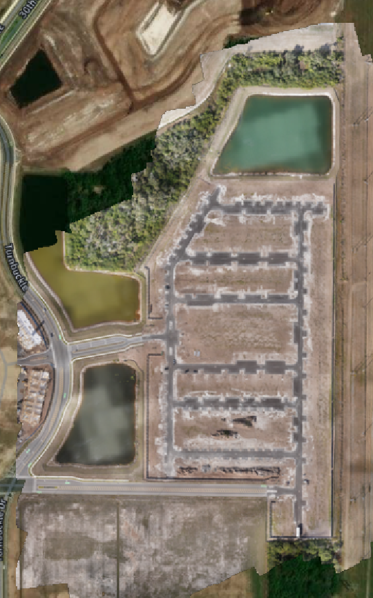
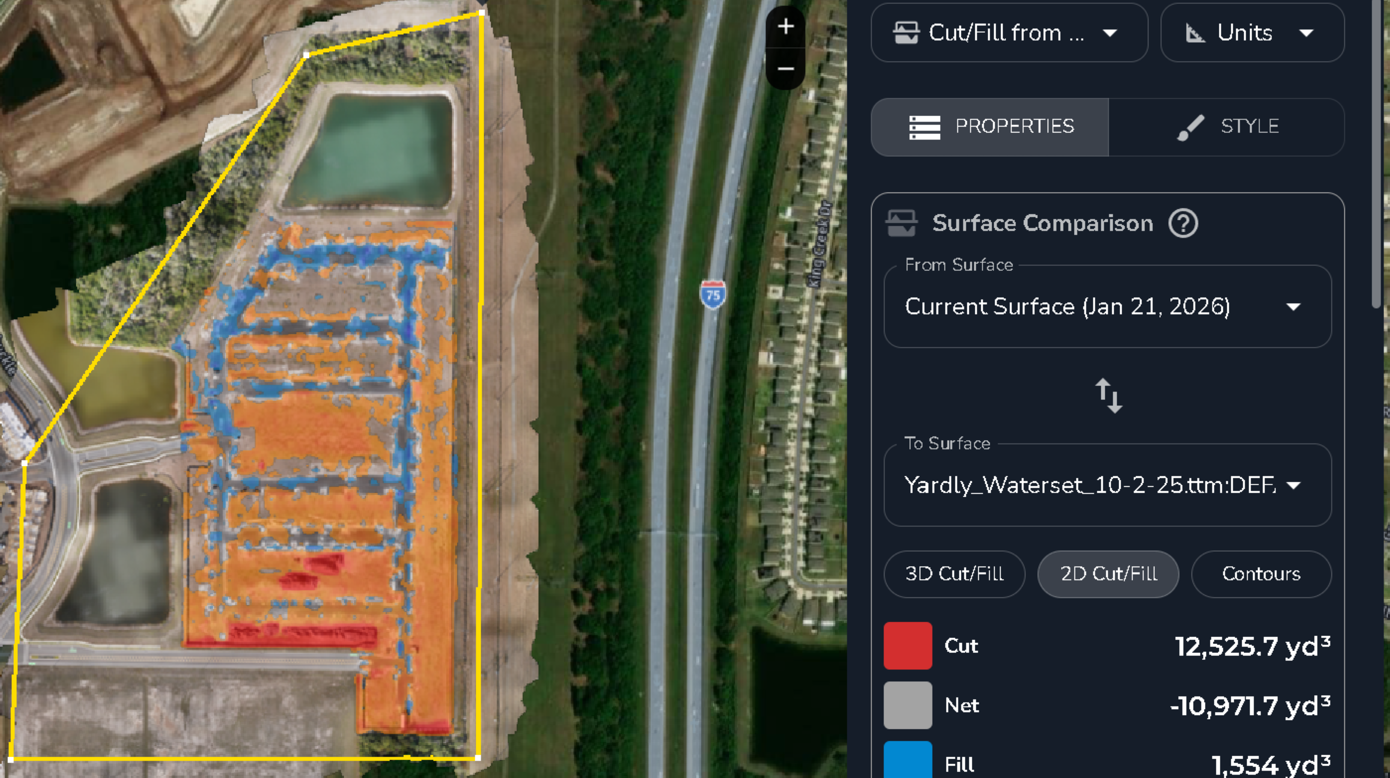
Full topographic survey for site design and grading.
Result: Delivered full topo 3 days ahead of schedule. Verified within 0.08′ of checkpoints.
 Click to enlarge
 Click to enlarge
We don’t just fly; we calibrate. Every mission includes:
Get a tailored proposal and accuracy guarantee.
Get a Quote